
Daussoulx topographic map
Interactive map
Click on the map to display elevation.
About this map
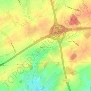
Name: Daussoulx topographic map, elevation, terrain.
Location: Daussoulx, Namur, Wallonie, 5020, Belgique (50.50692 4.85202 50.52702 4.89605)
Average elevation: 614 ft
Minimum elevation: 505 ft
Maximum elevation: 682 ft