
Houthem topographic map
Interactive map
Click on the map to display elevation.
About this map
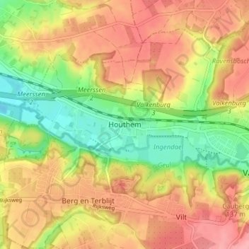
Name: Houthem topographic map, elevation, terrain.
Location: Houthem, Limburg, Netherlands, 6301, Netherlands (50.85249 5.77521 50.89249 5.81521)
Average elevation: 344 ft
Minimum elevation: 161 ft
Maximum elevation: 499 ft