
Oued Cheham topographic map
Interactive map
Click on the map to display elevation.
About this map
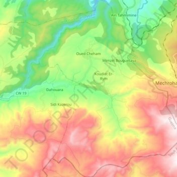
Name: Oued Cheham topographic map, elevation, terrain.
Location: Oued Cheham, Daïra Hammam Nbails, Guelma, Algérie (36.28491 7.71818 36.41944 7.85554)
Average elevation: 2,129 ft
Minimum elevation: 584 ft
Maximum elevation: 4,078 ft