
Namuco topographic map
Interactive map
Click on the map to display elevation.
About this map
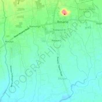
Name: Namuco topographic map, elevation, terrain.
Location: Namuco, Batangas, Calabarzon, 4225, Philippines (13.81396 121.18167 13.85396 121.22167)
Average elevation: 440 ft
Minimum elevation: 364 ft
Maximum elevation: 679 ft