
East Richford topographic map
Interactive map
Click on the map to display elevation.
About this map
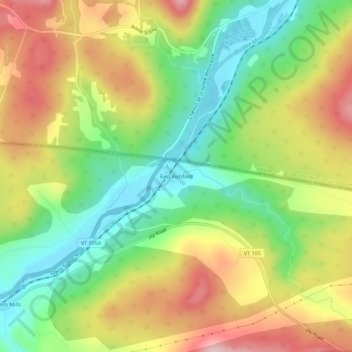
Name: East Richford topographic map, elevation, terrain.
Average elevation: 846 ft
Minimum elevation: 479 ft
Maximum elevation: 1,293 ft
Other topographic maps
Click on a map to view its topography, its elevation and its terrain.
Stevens Mills
United States > Vermont > Franklin County > Richford
Stevens Mills, Richford, Franklin County, Vermont, United States
Average elevation: 810 ft