
Bandja topographic map
Interactive map
Click on the map to display elevation.
About this map
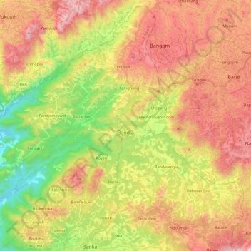
Name: Bandja topographic map, elevation, terrain.
Location: Bandja, Haut-Nkam, OU, Cameroun (5.16578 10.11164 5.37558 10.33281)
Average elevation: 4,472 ft
Minimum elevation: 2,402 ft
Maximum elevation: 6,601 ft