
Conception topographic map
Interactive map
Click on the map to display elevation.
About this map
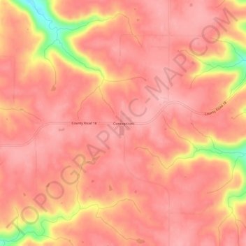
Name: Conception topographic map, elevation, terrain.
Location: Conception, Wabasha County, Minnesota, États-Unis d'Amérique (44.24552 -92.12989 44.28552 -92.08989)
Average elevation: 1,109 ft
Minimum elevation: 771 ft
Maximum elevation: 1,201 ft