
Yacimiento de Hasta Regia topographic map
Interactive map
Click on the map to display elevation.
About this map
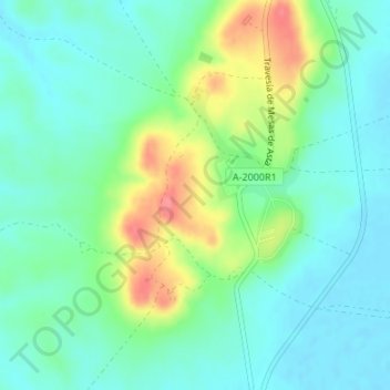
Name: Yacimiento de Hasta Regia topographic map, elevation, terrain.
Average elevation: 85 ft
Minimum elevation: 13 ft
Maximum elevation: 246 ft
Other topographic maps
Click on a map to view its topography, its elevation and its terrain.
La Guillena
España > Andalucía > Jerez de la Frontera
La Guillena, Jerez de la Frontera, Campiña de Jerez, Andalucía, España
Average elevation: 778 ft