
Hörschel topographic map
Interactive map
Click on the map to display elevation.
About this map
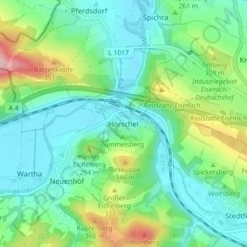
Name: Hörschel topographic map, elevation, terrain.
Location: Hörschel, Eisenach, Wartburgkreis, Thüringen, 99819, Duitsland (50.98543 10.21090 51.02543 10.25090)
Average elevation: 833 ft
Minimum elevation: 627 ft
Maximum elevation: 1,411 ft