
Clough Head topographic map
Interactive map
Click on the map to display elevation.
About this map
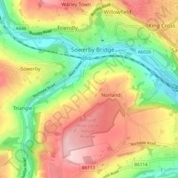
Name: Clough Head topographic map, elevation, terrain.
Average elevation: 571 ft
Minimum elevation: 226 ft
Maximum elevation: 948 ft
Other topographic maps
Click on a map to view its topography, its elevation and its terrain.
Norland Town
United Kingdom > England > Calderdale > Norland
Norland Town, Norland, Calderdale, West Yorkshire, England, HX6 3QZ, United Kingdom
Average elevation: 564 ft