
Kuştepe topographic map
Interactive map
Click on the map to display elevation.
About this map
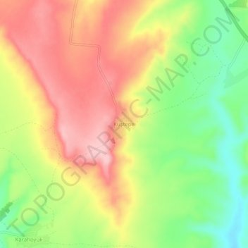
Name: Kuştepe topographic map, elevation, terrain.
Location: Kuştepe, Adıyaman, Southeastern Anatolia Region, Turkey (37.72284 38.40732 37.76284 38.44732)
Average elevation: 2,175 ft
Minimum elevation: 1,886 ft
Maximum elevation: 2,434 ft