
Pedrajas topographic map
Interactive map
Click on the map to display elevation.
About this map
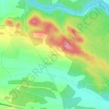
Name: Pedrajas topographic map, elevation, terrain.
Location: Pedrajas, Soria, Castilla y León, España (41.80621 -2.59645 41.84621 -2.55645)
Average elevation: 3,517 ft
Minimum elevation: 3,363 ft
Maximum elevation: 3,753 ft