
St Hilary topographic map
Interactive map
Click on the map to display elevation.
About this map
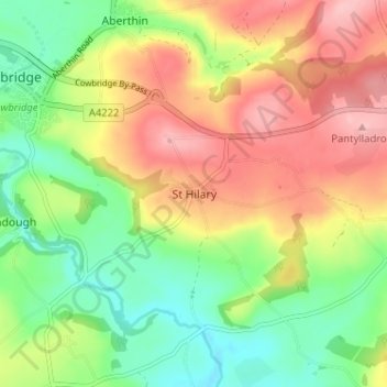
Name: St Hilary topographic map, elevation, terrain.
Location: St Hilary, Vale of Glamorgan, Wales, CF71 7DQ, United Kingdom (51.42958 -3.43625 51.46958 -3.39625)
Average elevation: 217 ft
Minimum elevation: 13 ft
Maximum elevation: 449 ft