
Le Plan topographic map
Interactive map
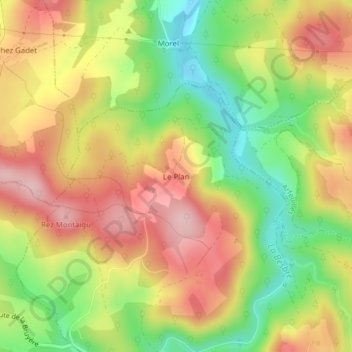
Click on the map to display elevation.
About this map
Name: Le Plan topographic map, elevation, terrain.
Average elevation: 1,424 ft
Minimum elevation: 1,070 ft
Maximum elevation: 1,749 ft
Other topographic maps
Click on a map to view its topography, its elevation and its terrain.
Épalle
France > Auvergne-Rhône-Alpes > Allier > Châtel-Montagne
Épalle, Châtel-Montagne, Vichy, Allier, Auvergne-Rhône-Alpes, France métropolitaine, 03250, France
Average elevation: 2,749 ft
Puy du Roc
France > Auvergne-Rhône-Alpes > Allier > Châtel-Montagne
Puy du Roc, Châtel-Montagne, Vichy, Allier, Auvergne-Rhône-Alpes, France métropolitaine, 03250, France
Average elevation: 1,634 ft