
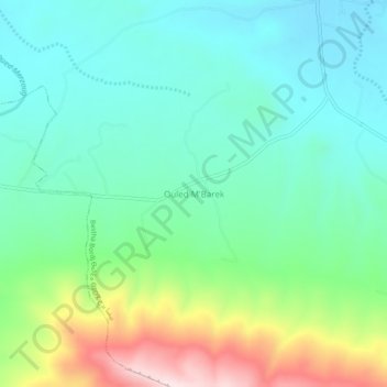
Ouled M'Barek topographic map
Interactive map
Click on the map to display elevation.
About this map
Name: Ouled M'Barek topographic map, elevation, terrain.
Location: Ouled M'Barek, Daïra Aïn Azal, Sétif, Algérie (35.78689 5.61137 35.82689 5.65137)
Average elevation: 3,425 ft
Minimum elevation: 3,087 ft
Maximum elevation: 4,304 ft