
Pachitea topographic map
Interactive map
Click on the map to display elevation.
About this map
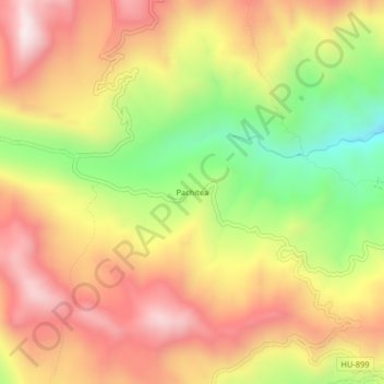
Name: Pachitea topographic map, elevation, terrain.
Location: Pachitea, Province of Pachitea, Huánuco, Peru (-10.08128 -75.96391 -10.04128 -75.92391)
Average elevation: 11,322 ft
Minimum elevation: 10,020 ft
Maximum elevation: 12,392 ft