
Bonassola topographic map
Interactive map
Click on the map to display elevation.
About this map
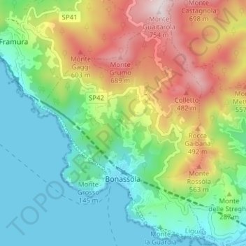
Name: Bonassola topographic map, elevation, terrain.
Location: Bonassola, SP, Ligurien, 19011, Italien (44.17126 9.56071 44.21631 9.60327)
Average elevation: 850 ft
Minimum elevation: 0 ft
Maximum elevation: 2,444 ft