
Henis topographic map
Interactive map
Click on the map to display elevation.
About this map
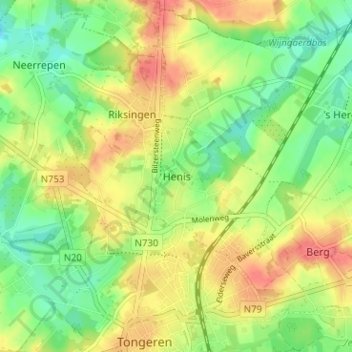
Name: Henis topographic map, elevation, terrain.
Location: Henis, Tongeren, Limburg, Vlaanderen, 3700, België (50.77940 5.44970 50.81940 5.48970)
Average elevation: 302 ft
Minimum elevation: 210 ft
Maximum elevation: 400 ft