
Worcester topographic map
Interactive map
Click on the map to display elevation.
About this map
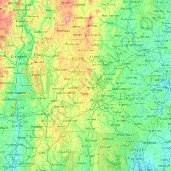
Name: Worcester topographic map, elevation, terrain.
Location: Worcester, Massachusetts, 01543, États-Unis (41.72800 -72.56202 43.00800 -71.28202)
Average elevation: 528 ft
Minimum elevation: -13 ft
Maximum elevation: 2,976 ft