
Cerritos topographic map
Interactive map
Click on the map to display elevation.
About this map
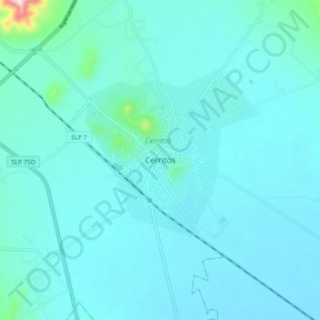
Name: Cerritos topographic map, elevation, terrain.
Location: Cerritos, San Luis Potosí, 79447, México (22.39005 -100.32424 22.47005 -100.24424)
Average elevation: 3,789 ft
Minimum elevation: 3,681 ft
Maximum elevation: 4,895 ft
Other topographic maps
Click on a map to view its topography, its elevation and its terrain.
Ejido San Pedro
México > San Luis Potosí > Cerritos > Ejido San Pedro
Ejido San Pedro, Cerritos, San Luis Potosí, México
Average elevation: 3,681 ft