
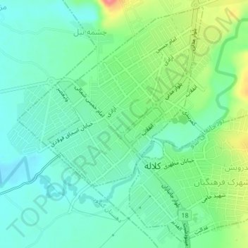
Kalaleh topographic map
Interactive map
Click on the map to display elevation.
About this map
Name: Kalaleh topographic map, elevation, terrain.
Location: Kalaleh, بخش مرکزی, Kalaleh County, Golestan Province, Iran (37.36738 55.47894 37.39291 55.51256)
Average elevation: 515 ft
Minimum elevation: 433 ft
Maximum elevation: 705 ft