
Altkirchen topographic map
Interactive map
Click on the map to display elevation.
About this map
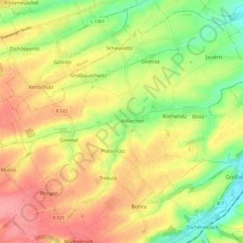
Name: Altkirchen topographic map, elevation, terrain.
Location: Altkirchen, Schmölln, Altenburger Land, Thuringe, Allemagne (50.90624 12.30097 50.95952 12.39346)
Average elevation: 801 ft
Minimum elevation: 646 ft
Maximum elevation: 938 ft