
Provincia de Islay topographic map
Interactive map
Click on the map to display elevation.
About this map
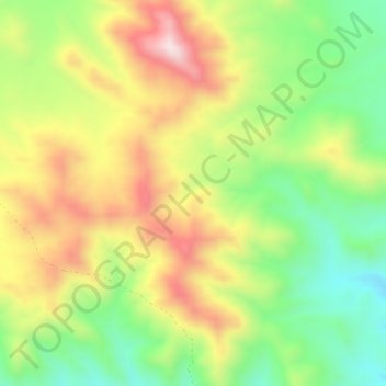
Name: Provincia de Islay topographic map, elevation, terrain.
Location: Provincia de Islay, Cocachacra, Islay, Arequipa, Perú (-16.97928 -71.76270 -16.93928 -71.72270)
Average elevation: 3,274 ft
Minimum elevation: 2,500 ft
Maximum elevation: 4,196 ft
Other topographic maps
Click on a map to view its topography, its elevation and its terrain.
La Ayanquera
Perú > Arequipa > Cocachacra
La Ayanquera, Cocachacra, Islay, Arequipa, Perú
Average elevation: 1,168 ft