
Grandview Heights topographic map
Interactive map
Click on the map to display elevation.
About this map
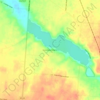
Name: Grandview Heights topographic map, elevation, terrain.
Location: Grandview Heights, Champaign County, Ohio, 43070, USA (40.16561 -83.99021 40.20561 -83.95021)
Average elevation: 1,148 ft
Minimum elevation: 1,047 ft
Maximum elevation: 1,217 ft