
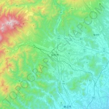
日光市 topographic map
Interactive map
Click on the map to display elevation.
About this map
Name: 日光市 topographic map, elevation, terrain.
Location: 日光市, Prefectura de Tochigi, 関東地方, 3211273, Japón (36.55993 139.53833 36.87993 139.85833)
Average elevation: 1,850 ft
Minimum elevation: 381 ft
Maximum elevation: 8,002 ft