
Notre-Dame-de-la-Rouvière topographic map
Interactive map
Click on the map to display elevation.
About this map
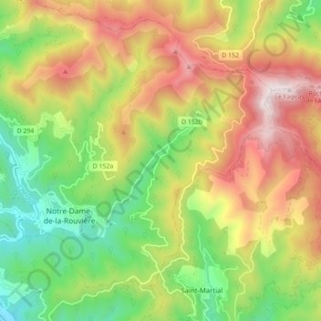
Name: Notre-Dame-de-la-Rouvière topographic map, elevation, terrain.
Average elevation: 2,146 ft
Minimum elevation: 758 ft
Maximum elevation: 3,812 ft
Other topographic maps
Click on a map to view its topography, its elevation and its terrain.
Mont Aigoual
France > Occitanie > Val-d'Aigoual
Mont Aigoual, Val-d'Aigoual, Le Vigan, Gard, Occitanie, France métropolitaine, 30570, France
Average elevation: 4,429 ft
Col de la Serreyrède
France > Occitanie > Val-d'Aigoual
Col de la Serreyrède, D 986, Valleraugue, Val-d'Aigoual, Le Vigan, Gard, Occitanie, France métropolitaine, 30570, France
Average elevation: 4,180 ft