
Billebjer topographic map
Interactive map
Click on the map to display elevation.
About this map
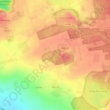
Name: Billebjer topographic map, elevation, terrain.
Average elevation: 240 ft
Minimum elevation: 82 ft
Maximum elevation: 315 ft
Other topographic maps
Click on a map to view its topography, its elevation and its terrain.
Skrylle
Sweden > Skåne County > Rögle
Skrylle, A, Rögle, Lund Municipality, Skåne County, Region Götaland, 247 54, Sweden
Average elevation: 236 ft