
Ban Khun Khlang topographic map
Interactive map
Click on the map to display elevation.
About this map
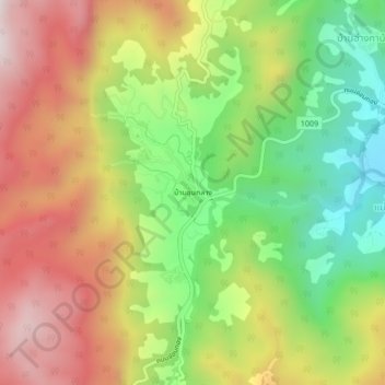
Name: Ban Khun Khlang topographic map, elevation, terrain.
Location: Ban Khun Khlang, Chiang Mai Province, Thailand (18.51893 98.50313 18.55893 98.54313)
Average elevation: 4,567 ft
Minimum elevation: 3,317 ft
Maximum elevation: 5,902 ft