
Niederwiesa topographic map
Interactive map
Click on the map to display elevation.
About this map
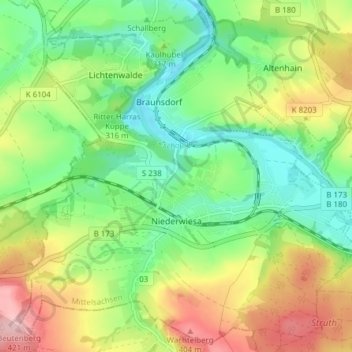
Name: Niederwiesa topographic map, elevation, terrain.
Location: Niederwiesa, Mittelsachsen, Saxe, 09577, Allemagne (50.84623 12.98102 50.89214 13.05742)
Average elevation: 1,047 ft
Minimum elevation: 833 ft
Maximum elevation: 1,375 ft