
Munali topographic map
Interactive map
Click on the map to display elevation.
About this map
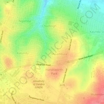
Name: Munali topographic map, elevation, terrain.
Location: Munali, Lusaka Province, 38836, Zambia (-15.40253 28.31687 -15.36253 28.35687)
Average elevation: 4,094 ft
Minimum elevation: 3,960 ft
Maximum elevation: 4,206 ft