
la Vierge topographic map
Interactive map
Click on the map to display elevation.
About this map
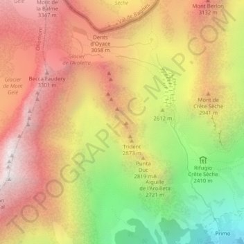
Name: la Vierge topographic map, elevation, terrain.
Location: la Vierge, Bionaz, Aosta Valley, Italy (45.88639 7.38597 45.88649 7.38607)
Average elevation: 8,947 ft
Minimum elevation: 5,840 ft
Maximum elevation: 11,398 ft