
Rungu topographic map
Interactive map
Click on the map to display elevation.
About this map
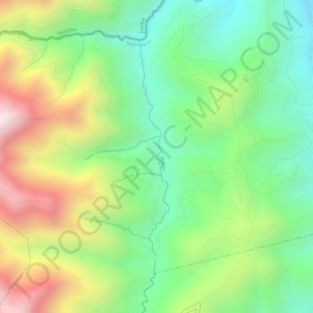
Name: Rungu topographic map, elevation, terrain.
Location: Rungu, Matyazo, Ngororero, Western Province, Rwanda (-1.76730 29.60806 -1.74716 29.61064)
Average elevation: 6,079 ft
Minimum elevation: 5,184 ft
Maximum elevation: 7,333 ft