
Westeremden topographic map
Interactive map
Click on the map to display elevation.
About this map
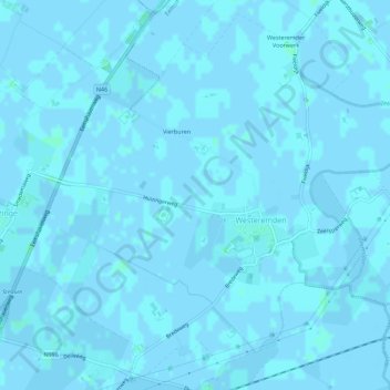
Name: Westeremden topographic map, elevation, terrain.
Location: Westeremden, Eemsdelta, Groningen, Nederland (53.33168 6.67796 53.36292 6.73411)
Average elevation: 0 ft
Minimum elevation: -7 ft
Maximum elevation: 13 ft