
Le Boulou topographic map
Interactive map
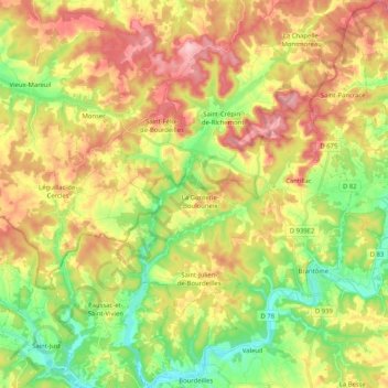
Click on the map to display elevation.
About this map
Name: Le Boulou topographic map, elevation, terrain.
Average elevation: 535 ft
Minimum elevation: 285 ft
Maximum elevation: 820 ft
Le Boulou prend sa source vers 195 mètres d'altitude dans le département de la Dordogne sur la commune de Sceau-Saint-Angel, au sud de l'église de Saint-Angel.