
El Hatillo topographic map
Interactive map
Click on the map to display elevation.
About this map
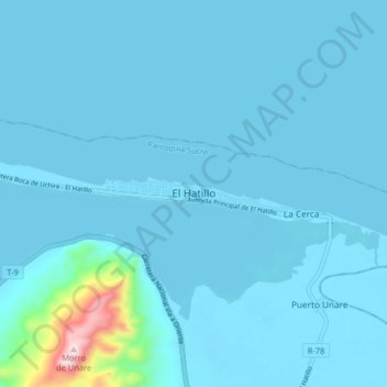
Name: El Hatillo topographic map, elevation, terrain.
Location: El Hatillo, Distrito Peñalver, Estado Anzoátegui, Venezuela (10.06311 -65.27248 10.14311 -65.19248)
Average elevation: 105 ft
Minimum elevation: -7 ft
Maximum elevation: 1,831 ft