
Whakamaru topographic map
Interactive map
Click on the map to display elevation.
About this map
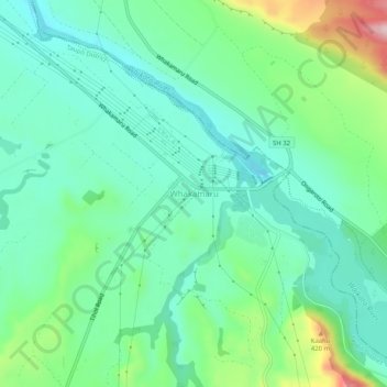
Name: Whakamaru topographic map, elevation, terrain.
Location: Whakamaru, Taupo District, Waikato, 3492, New Zealand (-38.44102 175.77845 -38.40102 175.81845)
Average elevation: 869 ft
Minimum elevation: 620 ft
Maximum elevation: 1,562 ft