
Almeida topographic map
Interactive map
Click on the map to display elevation.
About this map
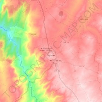
Name: Almeida topographic map, elevation, terrain.
Location: Almeida, Guarda, Beira Interior Norte, Centre, Portugal (40.68503 -6.95911 40.77538 -6.84935)
Average elevation: 2,247 ft
Minimum elevation: 1,591 ft
Maximum elevation: 2,543 ft