
Omoa topographic map
Interactive map
Click on the map to display elevation.
About this map
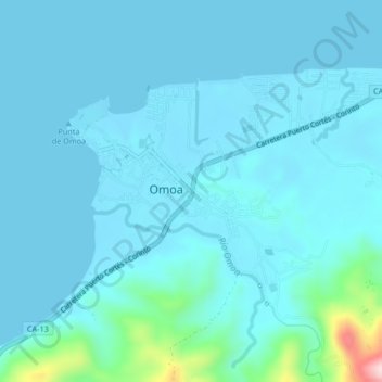
Name: Omoa topographic map, elevation, terrain.
Location: Omoa, Cortés, Honduras (15.75368 -88.05554 15.79368 -88.01554)
Average elevation: 95 ft
Minimum elevation: -3 ft
Maximum elevation: 1,001 ft
Other topographic maps
Click on a map to view its topography, its elevation and its terrain.