
Col du Pavillon topographic map
Interactive map
Click on the map to display elevation.
About this map
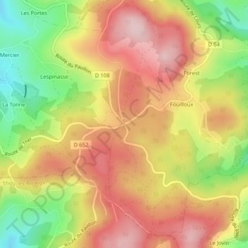
Name: Col du Pavillon topographic map, elevation, terrain.
Average elevation: 2,375 ft
Minimum elevation: 1,926 ft
Maximum elevation: 2,720 ft
Other topographic maps
Click on a map to view its topography, its elevation and its terrain.
Cours
France > Auvergne-Rhône-Alpes > Cours
Cours, Villefranche-sur-Saône, Rhône, Circonscription départementale du Rhône, Auvergne-Rhône-Alpes, France métropolitaine, 69470, France
Average elevation: 2,116 ft