
Tanjung Balau topographic map
Interactive map
Click on the map to display elevation.
About this map
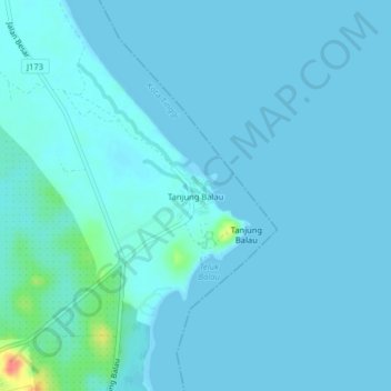
Name: Tanjung Balau topographic map, elevation, terrain.
Location: Tanjung Balau, Pengerang, Kota Tinggi, Johor, Malaysia (1.59308 104.23799 1.63308 104.27799)
Average elevation: 13 ft
Minimum elevation: -3 ft
Maximum elevation: 180 ft