
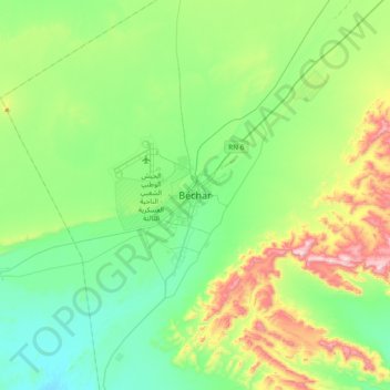
Béchar topographic map
Interactive map
Click on the map to display elevation.
About this map
Name: Béchar topographic map, elevation, terrain.
Location: Béchar, Daïra de Béchar, Béchar, 08000, Algérie (31.45654 -2.37801 31.77654 -2.05801)
Average elevation: 2,756 ft
Minimum elevation: 2,215 ft
Maximum elevation: 4,206 ft