
Tidewater topographic map
Interactive map
Click on the map to display elevation.
About this map
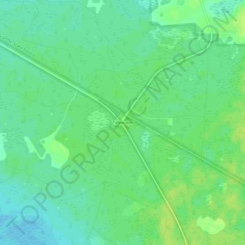
Name: Tidewater topographic map, elevation, terrain.
Location: Tidewater, Levy County, Florida, United States (29.10886 -82.59010 29.14886 -82.55010)
Average elevation: 66 ft
Minimum elevation: 43 ft
Maximum elevation: 89 ft