
Agat topographic map
Interactive map
Click on the map to display elevation.
About this map
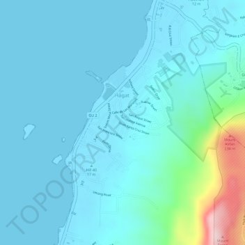
Name: Agat topographic map, elevation, terrain.
Location: Agat, Hågat Municipality, Guam, 96928, United States (13.36782 144.64967 13.39545 144.66769)
Average elevation: 135 ft
Minimum elevation: 0 ft
Maximum elevation: 974 ft