
Nyagatare topographic map
Interactive map
Click on the map to display elevation.
About this map
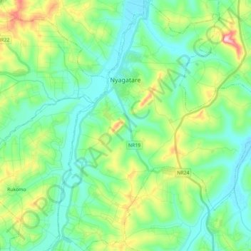
Name: Nyagatare topographic map, elevation, terrain.
Location: Nyagatare, Nyagatare District, Eastern Province, Rwanda (-1.42023 30.28131 -1.24234 30.43551)
Average elevation: 4,629 ft
Minimum elevation: 4,364 ft
Maximum elevation: 5,397 ft