
Ryckel topographic map
Interactive map
Click on the map to display elevation.
About this map
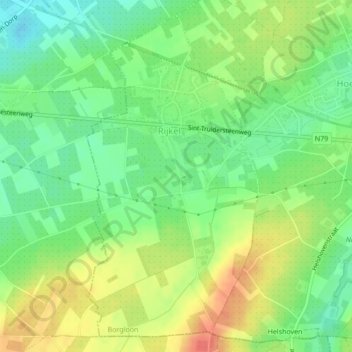
Name: Ryckel topographic map, elevation, terrain.
Location: Ryckel, Looz, Tongres, Limbourg, Flandre, Belgique (50.79182 5.25038 50.81645 5.27119)
Average elevation: 223 ft
Minimum elevation: 151 ft
Maximum elevation: 308 ft