
Gadarpur topographic map
Interactive map
Click on the map to display elevation.
About this map
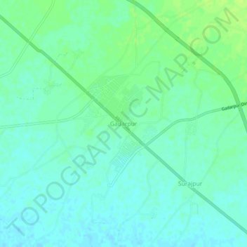
Name: Gadarpur topographic map, elevation, terrain.
Location: Gadarpur, Udham Singh Nagar, Uttarakhand, India (29.02236 79.22851 29.06236 79.26851)
Average elevation: 702 ft
Minimum elevation: 682 ft
Maximum elevation: 725 ft