
Cambyretá topographic map
Interactive map
Click on the map to display elevation.
About this map
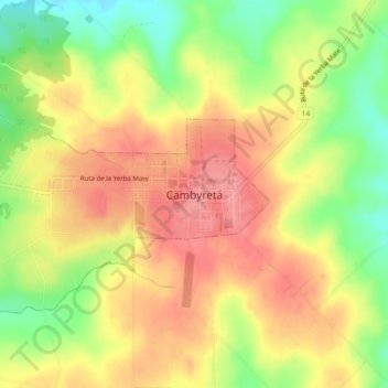
Name: Cambyretá topographic map, elevation, terrain.
Location: Cambyretá, Alto Verá, Itapúa, Región Oriental, Paraguay (-27.37905 -55.78137 -27.33905 -55.74137)
Average elevation: 558 ft
Minimum elevation: 381 ft
Maximum elevation: 689 ft