
Las Jaras topographic map
Interactive map
Click on the map to display elevation.
About this map
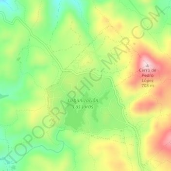
Name: Las Jaras topographic map, elevation, terrain.
Location: Las Jaras, Córdova, Andaluzia, 14029, Espanha (37.96023 -4.85063 37.97939 -4.83044)
Average elevation: 1,562 ft
Minimum elevation: 1,132 ft
Maximum elevation: 2,087 ft