
Sasan topographic map
Interactive map
Click on the map to display elevation.
About this map
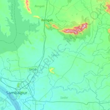
Name: Sasan topographic map, elevation, terrain.
Location: Sasan, Sambalpur, Odisha, India (21.46974 83.96825 21.63260 84.22098)
Average elevation: 623 ft
Minimum elevation: 449 ft
Maximum elevation: 1,722 ft
Other topographic maps
Click on a map to view its topography, its elevation and its terrain.