
TUTUNENDO topographic map
Interactive map
Click on the map to display elevation.
About this map
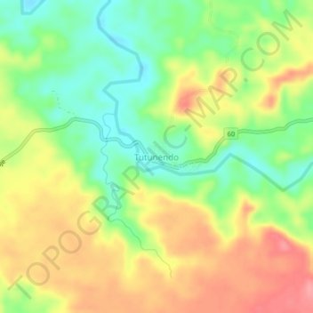
Name: TUTUNENDO topographic map, elevation, terrain.
Location: TUTUNENDO, Quibdó, Chocó, Colombia (5.72435 -76.56078 5.76435 -76.52078)
Average elevation: 236 ft
Minimum elevation: 85 ft
Maximum elevation: 400 ft